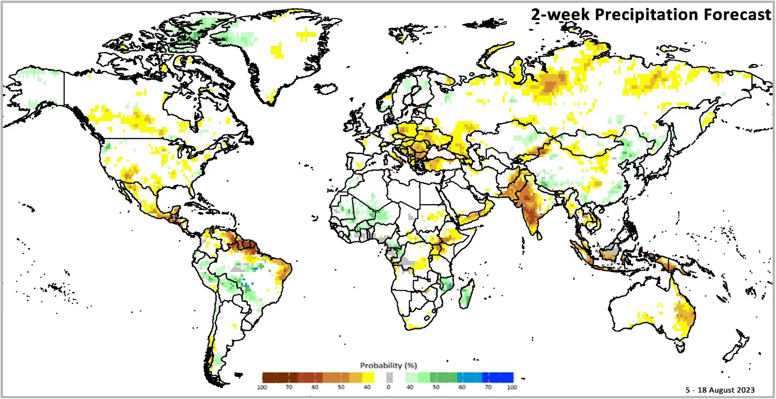
The vast landscapes of Africa, from the arid Sahara to the lush rainforests of Central Africa, tell the story of a continent rich in agricultural diversity. Yet, despite its vast arable land, Africa faces challenges in optimizing crop yields and ensuring the livelihoods of its farmers. Much like the receding glaciers of Mount Kenya symbolize the broader climate crisis, the fluctuating crop yields in Africa signify a deeper issue in agricultural practices.
A Glimpse into Africa's Top Crops
The continent's diverse climates allow for the cultivation of a myriad of crops. From the staple cassava in West Africa to the globally renowned coffee beans of Ethiopia, Africa's agricultural sector is a mosaic of potential. Yet, the challenges of unpredictable rainfall, pests, and soil health often hinder optimal yields.

Geospatial Data: The Game Changer
Enter the world of geospatial data, a transformative force that promises to reshape Africa's agricultural narrative. Through advanced technologies like satellite imagery, sensors, and AI, geospatial data offers insights into soil health, moisture levels, and pest infestations. This data-driven approach ensures precision in agriculture, allowing farmers to apply resources where they are most needed, leading to enhanced yields and improved livelihoods.
The Power of Precision Agriculture in Africa
Much like Amini's unique approach to creating precise crop masks, geospatial data facilitates the creation of detailed agricultural maps. These maps, derived from satellite imagery, form the backbone of precision agriculture. They ensure that measurements of vegetative health, soil moisture, and environmental factors are accurate and specific to targeted crops. By integrating this data, farmers can make informed decisions, optimize their farming practices, and ultimately improve their yields and livelihoods.

A Brighter Future for African Farmers
Geospatial data is not just about improving crop yields; it's about securing the future of African farmers. With accurate weather forecasts, tailored financial products, and education, farmers are better equipped to face challenges and seize opportunities. Agriculture is the lifeblood of Africa, contributing significantly to its GDP. By harnessing the power of geospatial data, the continent is poised to unlock its full agricultural potential, ensuring food security and prosperity for its people.
In conclusion, just as Amini aims to bridge Africa's environmental data gap, geospatial data seeks to bridge the agricultural knowledge gap. By leveraging this data, Africa is not only ensuring a resilient agricultural sector but also a brighter, more prosperous future for its people.
.avif)


.avif)
